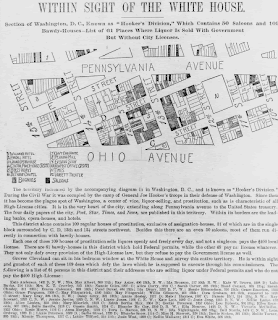
A Cadastral map is one one which an area is partitioned by one of several systems (metes and bounds or PLSS, for example).
This one is entitled, "Within sight of the White House : section of Washington, D.C., known as "Hooker's Division," which contains 50 saloons and 109 bawdy-houses--list of 61 places where liquor is sold with government [sic] but without city licenses."
web site: http://www.ushistoricalarchive.com/statemaps/dc/32.html
No comments:
Post a Comment