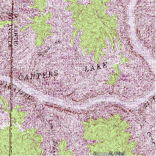
digital raster graphic - a scanned image of a U.S. Geological
Survey (USGS) standard series topographic map
 .
.A topographic map has contour lines which represent elevation and relief of an area. This one is of Carter Lake, GA, where a group of friends and I recently went camping.
web site: http://ga-ims.er.usgs.gov/website/drg24/viewer.htm
No comments:
Post a Comment